Infrastructure Minister: 140 specialists participated in Rikoti project designing
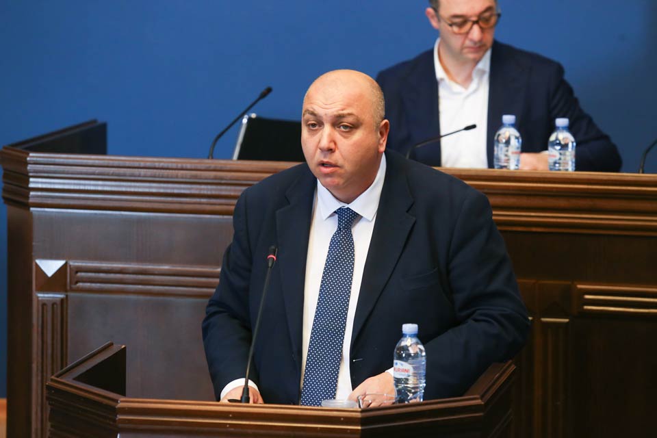
The Georgian Minister of Regional Development and Infrastructure, Irakli Karseladze, provided information to MPs about the Rikoti main road construction project at the session of the Sectoral Economy and Economic Policy Committee.
Karseladze highlighted the significance of the Rikoti project, describing the 52 km section as the most challenging part of the East-West International (E60) highway. He stated that the goal is to bring this section in line with international standards, ensuring safety, quality, and development.
The minister explained that the project underwent preparatory design works, and international financial institutions were involved in the implementation from the design stage. Accordingly, the process took place in compliance with the procedures, policies, and rules of these institutions.
The minister noted that companies were selected to design the Rikoti highway following the procedures of the World Bank and the Asian Development Bank. Designing the Rikoti highway involved renowned companies from the United States, Italy, Turkey, and South Korea.
“In total, 140 specialists participated, with 56 being international experts and 84 being local experts, in the designing process. The team included professionals in various fields such as tunnel and bridge engineering, geology, environmental protection, road safety, and more”, he stated.
Irakli Karseladze emphasized that the project underwent audits by independent specialists from international financial institutions, including experts from France, Italy, Australia, and Austria. The project approval process took place only after their confirmation.
“The feasibility study was conducted for the project with the financing of the World Bank, considering technical, economic, environmental, social, cost-effectiveness, and road safety criteria. The study involved a multi-functional comparison of five alternative options to identify the best direction,” he said.
Karseladze informed MPs about the extensive field research works during the detailed construction project stage, including topographical, geological, hydrological, and geomorphological studies. A digital model of the terrain was created using aerial photography, lidar scanning, and 3D modelling. Water catchment basins and underground waters were also studied during the design, influencing construction solutions.