Georgia establishes unified land resources database for first time in twenty years
The collection, processing, and systematisation of data on Georgia’s land fund has been made possible for the first time in twenty years, through the joint efforts of the Ministry of Environmental Protection and Agriculture and the National Agency for Sustainable Land Management and Land Use Monitoring, the ministry reported.
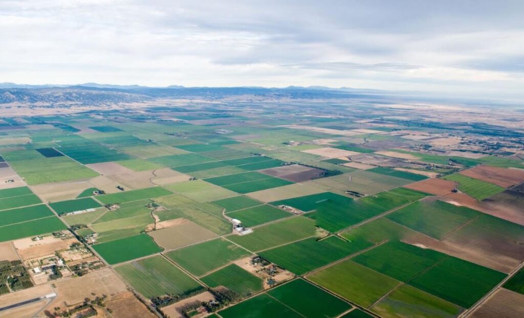
“The unified land fund database covers two broad areas: data on agricultural and non-agricultural land. Agricultural lands are subdivided into areas under annual and perennial crops. As for the non-agricultural component, data is presented across a wide range of categories, including forest fund, protected areas, water fund, glaciers, lakes, urban territories, and more. A comprehensive picture of Georgia’s land fund, broken down by designation and category, is now available,” said Giorgi Misheladze, Chairman of the National Agency for Sustainable Land Management and Land Use Monitoring.
He noted that during the period when no unified land database existed, the state had relied on data from the Public Registry concerning registered land, as well as statistical data that was frequently based on verbal surveys.
“That data was scattered and fragmentary. Today, the unified land fund database brings together information processed by the Ministry, the Public Registry, and other agencies, and, most importantly, data processed by the Agency itself: verified and refined information that will make the work of everyone easier, both the public sector and the private sector alike,” said Misheladze.
The data is publicly available on the Agency’s website at https://land.gov.ge/Ge/Services/Database, whilst an interactive map of Georgia’s land use and land cover has been published on the Environmental Protection and Agriculture Geographic Information Portal at https://portal.mepa.gov.ge/Ge/user/map/34.